

AgrosenseEarly access
Agrosense: ground-level sensing, tree by tree
Agrosense is a vehicle-mounted sensing unit that combines RGB and RGB-D cameras with IoT sensors to confirm tree presence and measure canopy density, trunk diameter, and visible fruit and scions as it drives the rows, recording at up to 12 mph. Every reading is uploaded to Agroview for analysis and reporting.
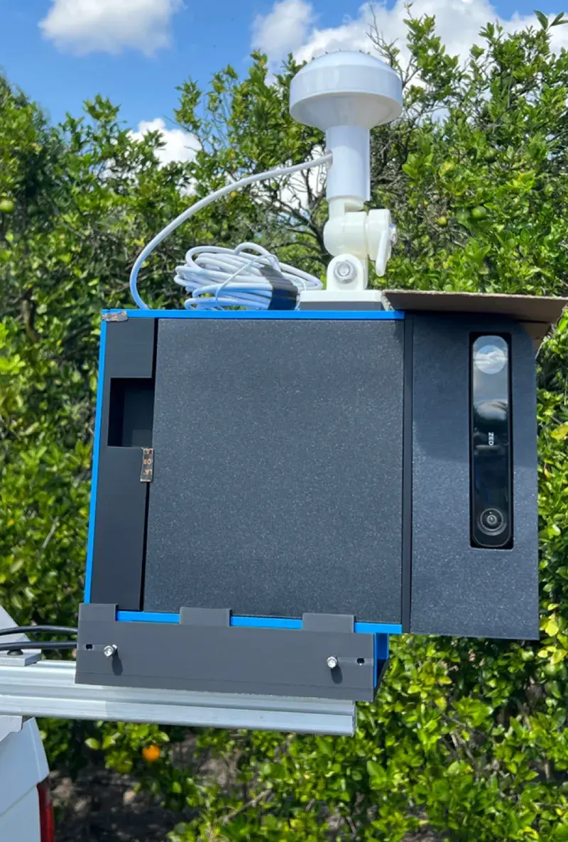
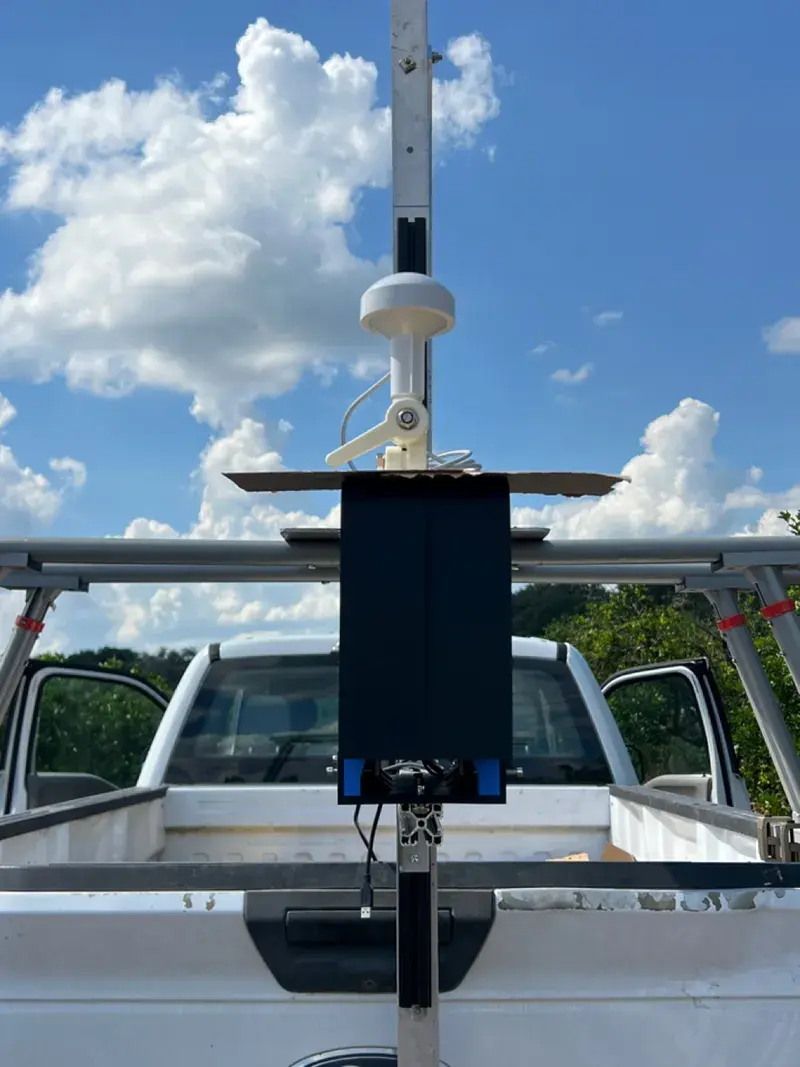
Field-test units: the sensor enclosure, and a truck-mounted rig.
What it measures
- Tree presence: confirms each tree position from the ground, alongside aerial counts.
- Canopy density: how full each canopy is, seen from the row.
- Trunk diameter: measured tree by tree.
- Visible fruit and scions: counted and measured on each tree; fruit on the ground counted separately.
The view from the row, added to the view from above
Records at driving speed
Up to 12 mph, capturing what your eyes can't from the row.
One record per tree
Ground readings join the aerial census in Agroview, so each tree carries both.
Built to act on
Designed to integrate with variable-rate spray (VRS) systems and other farm management tools.
Questions
What is Agrosense?
A vehicle-mounted unit (RGB and RGB-D cameras plus IoT sensors) that confirms tree presence and measures canopy density, trunk diameter, and visible fruit and scions tree by tree at up to 12 mph.
Where does Agrosense data go?
Every reading is uploaded to Agroview, so each tree carries both ground and aerial records.
Is Agrosense available?
Units are built and field-tested. Availability is limited through an early access program.
Early access
Agrosense units are built and field-tested, and we're working with agricultural partners on early deployments while we scale production. Availability is limited. Tell us about your operation to join the early access program.